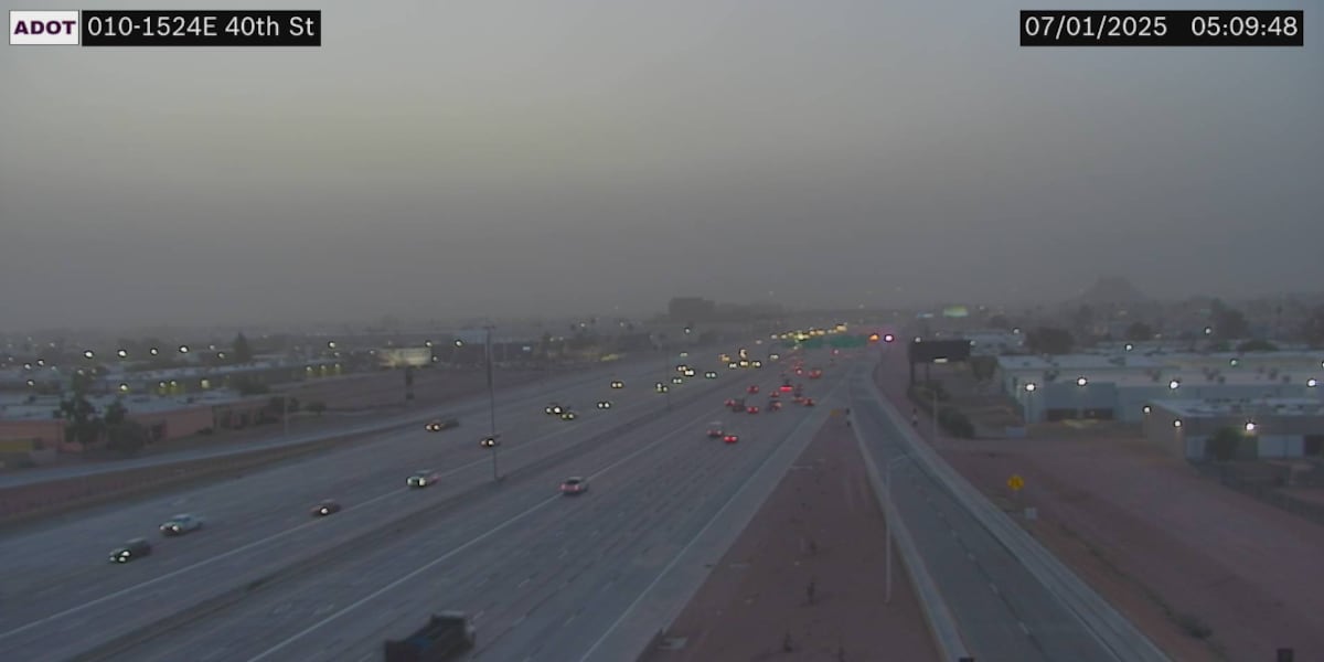
PHOENIX (AZFamily) — It’s a hazy Tuesday morning as dust has arrived from storms to our south and southeast late last night. Several Maricopa County monitors were reporting hazardous air quality during the early morning hours.
It’s another First Alert Weather Day today for the heat. An Extreme Heat Warning is in effect today until 8 p.m. The Valley will climb to about 113 degrees this afternoon.
While temperatures will be down slightly today from yesterday, they will likely feel just as hot thanks to higher humidity. Monsoon moisture brought isolated storms to portions of southern Arizona yesterday, and more widespread activity is expected today.
The Valley is at risk of more blowing dust and gusty winds this afternoon and evening. The Arizona Department of Environmental Quality issued a High Pollution Advisory for Tuesday and Wednesday.
Rain chances on Tuesday are near 20%. Winds are likely out of the east at 15 to 25 mph, gusting to 35 mph.
Rain and thunderstorm chances go up slightly tomorrow, with Valley chances near 30%. Look for a Wednesday afternoon high of 108 degrees.
Slight storm chances continue during the day Thursday before dry air returns to the state and cuts storm chances across the state for Fourth of July and the following weekend. Temperatures will peak near 106 degrees on Friday in Phoenix and near 110 degrees by Sunday.
See a spelling or grammatical error in our story? Please click here to report it.
Do you have a photo or video of a breaking news story? Send it to us here with a brief description.
Copyright 2025 KTVK/KPHO. All rights reserved.