KNOXVILLE, Tenn. (WVLT) – We have on and off rain and storms for part of our area today, then we’ll have several afternoons with developing storms. This active pattern continues with another front’s rain by the weekend.
Be sure you have the WVLT First Alert Weather app for iPhone or Android to keep up with the latest forecast details for your location.
WHAT TO EXPECT
Rain is mainly moving through the southern half of our area at times today. Check out the latest rainfall so far and the track ahead in the free WVLT First Alert Weather app.
Scattered rain and storms move through at times again this afternoon, mainly for the Valley to mountains and southern Plateau. This leaves us cooler, or actually back closer to “normal”, at 70 degrees in Knoxville, with a light breeze. Where rain is spotty along the Tennessee, Kentucky line, it’s several degrees warmer.
Tonight is mostly cloudy with spotty rain, and a mild low of 58 degrees.
LOOKING AHEAD
Wednesday warms to the upper 70s, with scattered rain and storms developing again in the afternoon to evening.
Thursday also comes with scattered afternoon storms, especially in our higher elevations and for now it’s looking more isolated in the Valley. We’ll warm to the mid 70s Thursday.
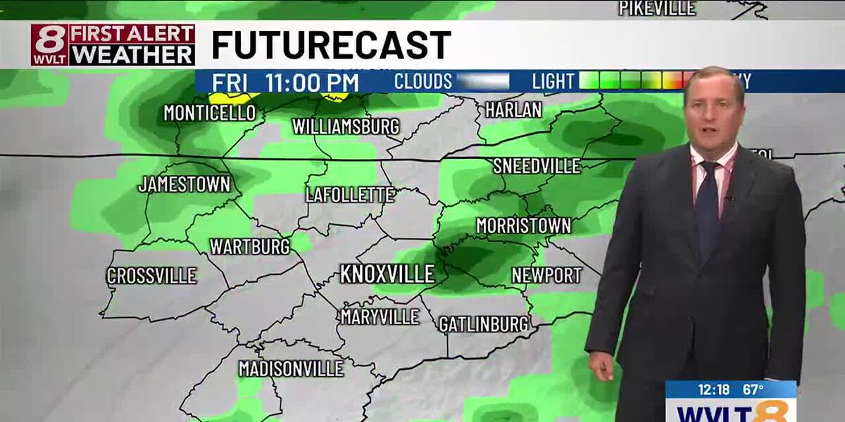
Friday warms to 78 ahead of rain and storms in the afternoon to evening. This round continues through Friday night and into Saturday, tapering off in coverage in the afternoon to evening.
In your First Alert 8-Day Planner, Sunday into early next week comes with more sunshine and limited rain changes. We’ll warm again to around 80 degrees.
Copyright 2025 WVLT. All rights reserved.