Lacey Swope is tracking storms as a second wave moves into the metro.
2:16 a.m.
Parts of the Oklahoma City metro are experiencing rain, but News 9 Storm Tracker Tom Pastrano says the front appears to be weakening as it crosses central Oklahoma.
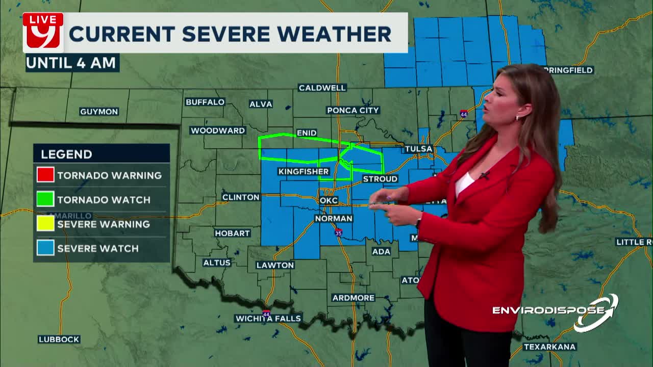
A Severe Thunderstorm Watch is still in effect until 4 a.m.
Across the state, 32,500 customers are without power.
1:57 a.m.
There are currently no severe winds or hail in Oklahoma, but multiple areas are under flash flood warnings. If you are out and see standing water, turn around, don’t drown.
1:37 a.m.
1:16 a.m.
Severe Thunderstorms are moving across central Oklahoma.
News 9 Storm Tracker Tom Pastrano is near Guthrie, where there is minor flash flooding, but no high winds or hail.
Across the state, 32,000 customers are without power.
12:37 a.m.
A second wave of storms is moving into the metro.
Across the state, 22,500 people are without power.
12:10 a.m.
Storms are moving toward eastern Oklahoma. These storms are bringing heavy rain and some hail, and aren’t expected to bring in any tornadic activity.
11:38 p.m.
News 9 Storm Tracker Tom Pastrano is near Cushing, where severe storms have moved a carport.
Pastrano says the high winds moved the carport, causing it to land on a power line. The power line was not damaged.
There is also tree damage in this area.
11:25 p.m.
A Tornado warning has been issued for Lincoln and Pottawatomie Counties until midnight.
11:14 p.m.
Over 10,000 people across the state are without power.
10:50 p.m.
A Tornado Warning has been issued for Kay County until 11:15 p.m.
10:45 p.m.
Power is out in the town of Cashion, the emergency manager confirms.
10:43 p.m.
A Tornado Warning has been issued for Garfield and Noble County.
10:40 p.m.
Edmond Police confirm tornado sirens are sounding off in Edmond.
10:31 p.m.
A Tornado warning has been issued for Canadian, Kingfisher, Logan and Oklahoma Counties until 11 p.m.
10:45 p.m.
A Tornado Warning is issued for Garfield and Noble County until 10:45.
10 p.m.
Tom Pastrano is in Okeene, where winds are reaching up to 8 mph. The rain is so heavy that there is low visibility.
9:50 p.m.
David Payne confirms that a tornado touched down near Highway 81 near Enid.
9:35 p.m.
Val and Amy Castor are near Putnam, where there is heavy rain and high winds. The storm they are in also caused tree damage in the area.
8:30 p.m.
Val and Amy Castor are near Crawford where there was tennis ball-sized hail falling.
8:24 p.m.
A Tornado Watch has been issued for Beckham and Washita counties
8:15 p.m.
David Payne confirms a tornado touched down near Arnett.
7:45 p.m.
News 9 Storm Tracker Brandon Pennel is in Kay County, where a line of storms is moving east/southeast. At his location, there are strong winds and the core has heavy rain and lightning
WATCHES AND WARNINGS
- Severe Thunderstorm Warning for Ellis and Roger Mills County until 8:30 p.m.
NextGen Live Radar
Current Watches and Warnings
Download the News 9 Weather App
Oklahoma City Traffic Map
WATCH LIVE: Lucky Star Casino Skycam Network